Louisiana’s Archaeological Landscape
Louisiana is home to a variety of archaeological sites, from coastal sites such as Adams Bay in Plaquemines Parish to Northern Louisiana's Poverty Point (1700 B.C.– 1100 B.C.) in Pioneer, Louisiana.
Poverty Point is considered a U.S. National Monument, a National Historic Landmark, and a UNESCO World Heritage site. It is particularly notable for its large, half-circle mounds created by the Poverty Point culture, who carried dirt by the basket-full to create the main earthen structure, which stands 72 feet high.
This process took 600 years, otherwise known as twenty-five generations. A project like this required intense forethought and speaks to the importance of archaeological sites, as they are much more than just piles of dirt.
These sites are physical pieces of history that will be lost forever if we do not make an effort to study and preserve them.

Drone Shot of the Buras Mounds - By Noah Custer

Drone Shot of the Buras Mounds - By Noah Custer

Drone Shot - By Noah Custer
ADAMS BAY SITE
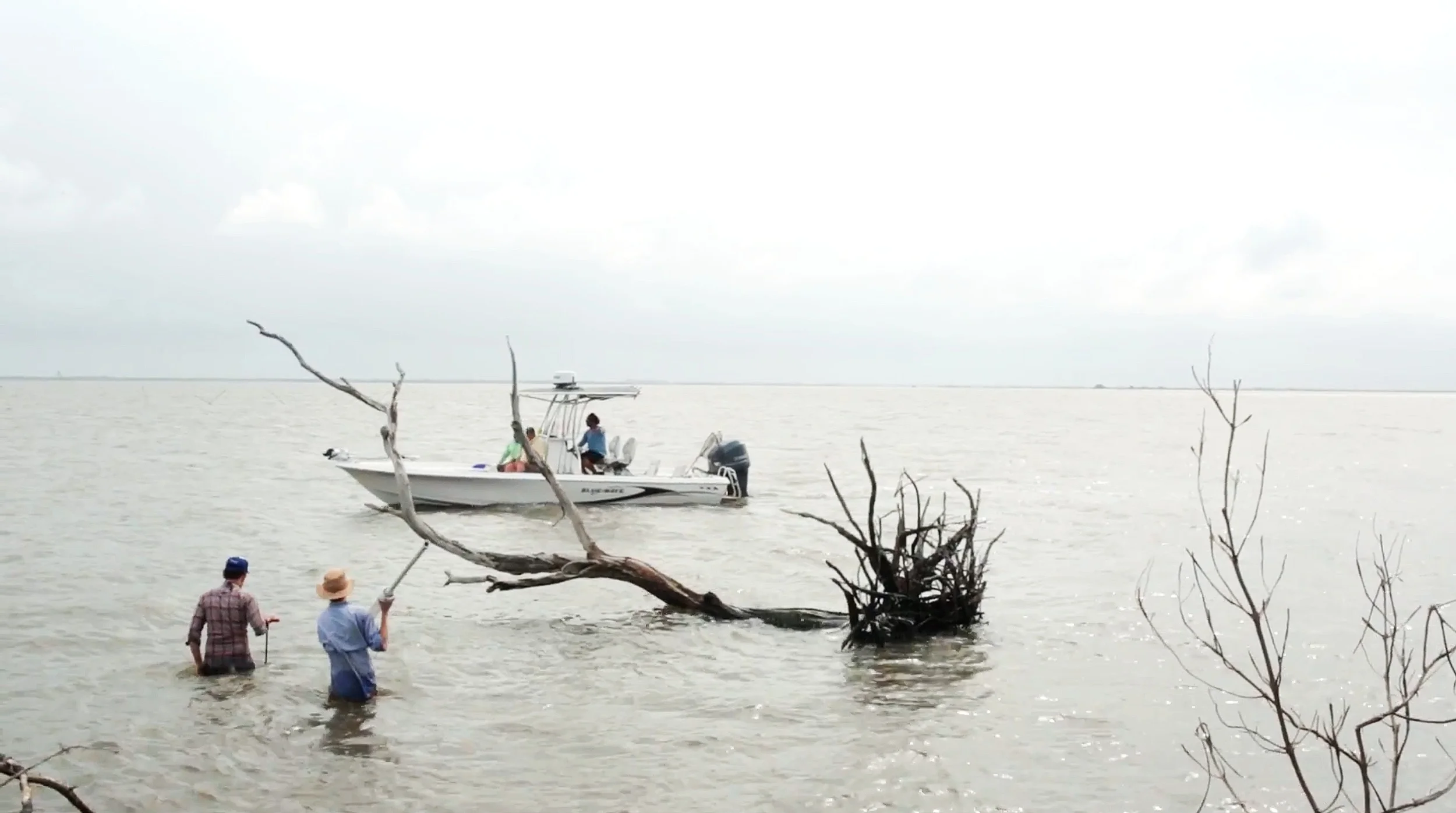
The Adams Bay mound site in Southeast Louisiana was created by Native Americans who constructed it from earth and shell. Mound-building is a cultural practice of Native people of the Southeastern United States, which has existed for over five thousand years.
The site is believed to have originally consisted of three to four mounds, which may have been intact as recently as the 1980s. However, due to the dramatic impacts of coastal erosion, these mounds are mostly destroyed.
The main mound, referred to as “Mound A,” has essentially been cut in half from the direct, daily impact of waves. This has left the layers of the mound exposed. Additionally, saltwater intrusion has killed much of the roseau cane (Phragmites australis), which was holding the soil together.
In Louisiana, the practice of mound-building goes back to 3000-3500 B.C. This makes Louisiana a significant source of archaeological data, but its sites are extremely vulnerable to the effects of coastal land loss. Aside from archaeological records, much of the information we know about mound-building societies in Louisiana is from stories of decedent communities, such as the Houma and Chitimacha tribes.
This area, in particular, is a very poorly known facet of American archaeology, and erosion’s rapid effects on it have made Adams Bay even more important to study. It’s just one storm surge away from being swept away, with all of the potential for more data disappearing with the land itself.
The research we conducted consisted of mapping the site to determine how much had been lost since the last time the site was visited, collecting sediment cores to learn about the site’s composition as well as its depth, recovering radiocarbon dating samples, collecting soil and vegetation samples, and utilizing a technique called micromorphology.


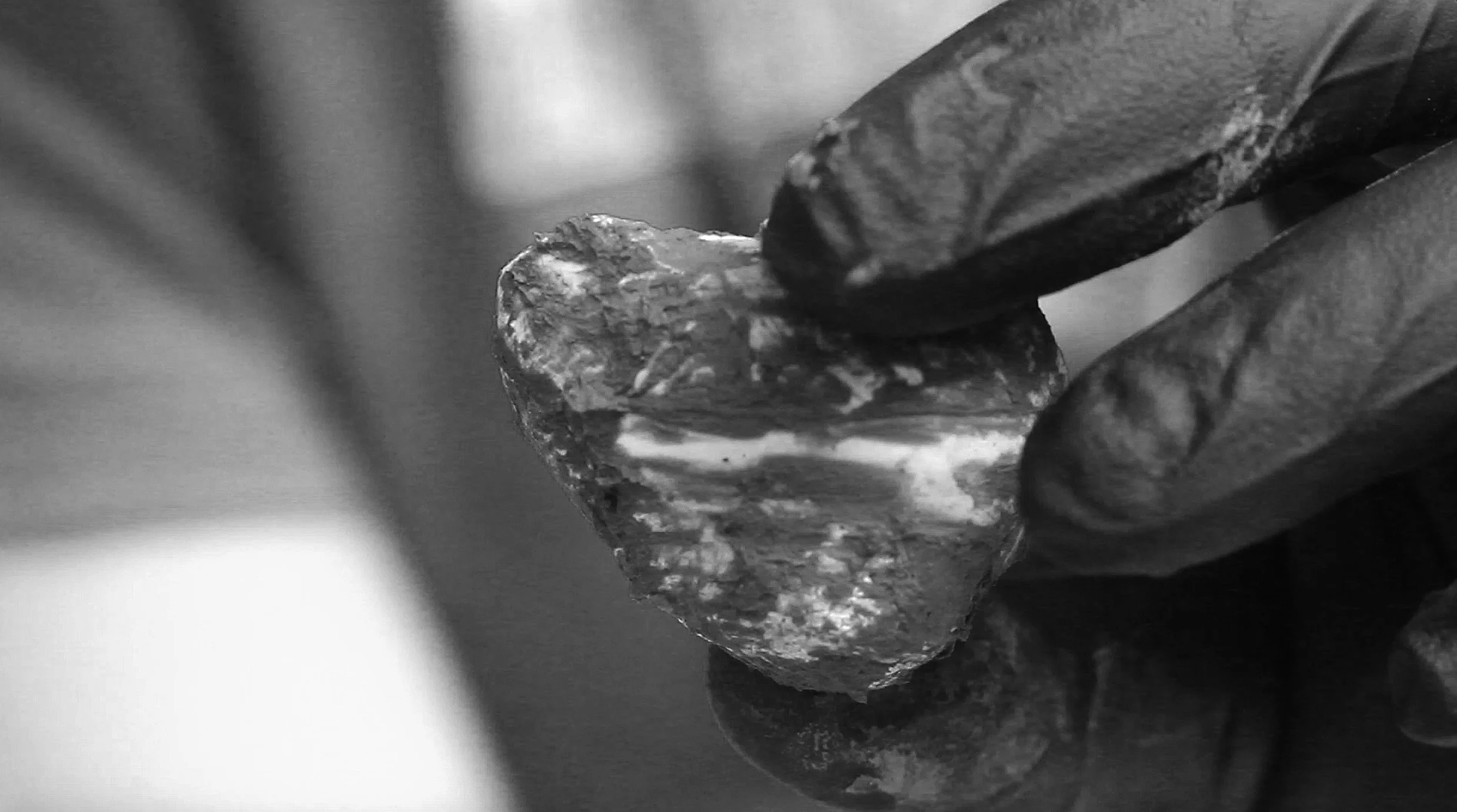
Pottery Found on Adams Bay Site - By Peyton Finch
Pottery
Most of the pottery we found (from simply walking on the site) were in small sherds*, except for the two pieces featured on this website.
Previous to our field days, the Adams Bay site had only been dated through the comparison of its pottery to the pottery of other sites that were more accurately dated. We recorded some of the site’s first radiocarbon dating samples to determine its actual age.
*A sherd is a historic or prehistoric fragment of pottery.

Pottery Found on Adams Bay Site - By Peyton Finch

Pottery Found on Adams Bay Site - By Jayur Mehta

Dr. Ted Marks and Peyton Finch Drawing Profile - By Jayur Mehta

Profile Drawn by Dr. Ted Marks and Peyton Finch
MOUND A
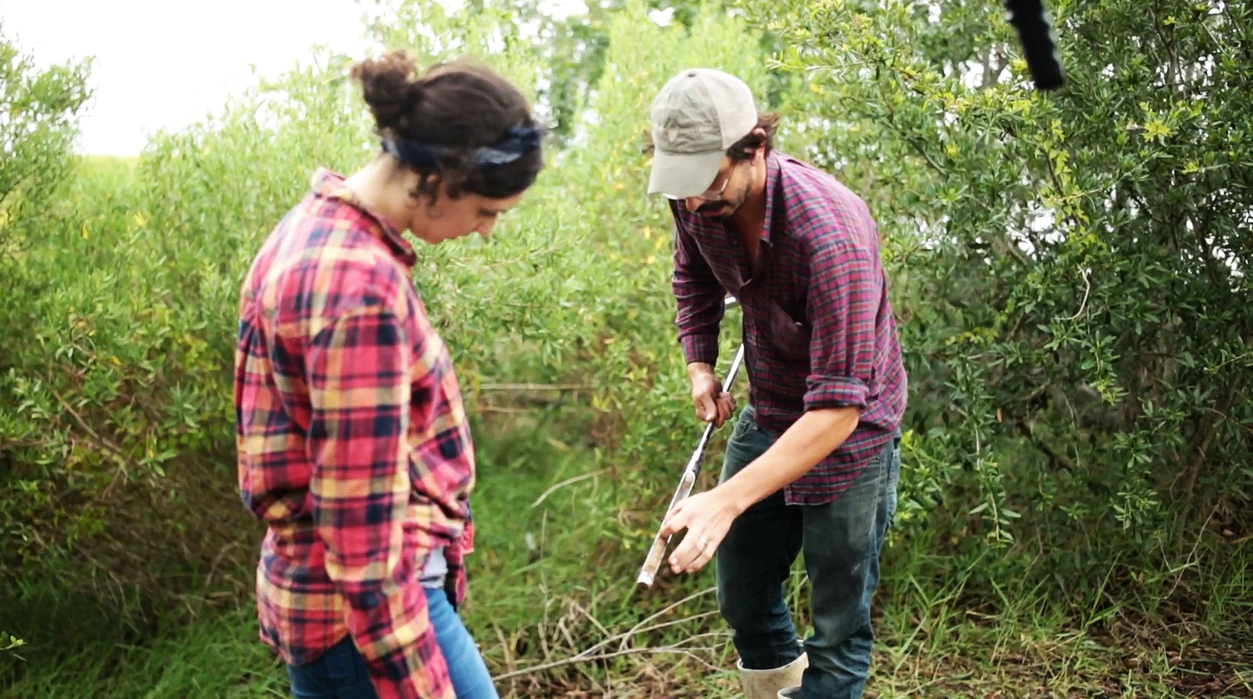
Mound A–the largest mound on the site–was a particularly interesting area to record, as many of the layers were completely exposed.
Profiling the mound consisted of selecting a fixed elevation and measuring the distance or displacement of each layer from it. The pink string (pictured to right and bottom) represents the fixed points we used to plot the mound's layers.

Mound A - By Chase Whittington

Mound A - By John Colgan
Coring
Coring is when a large, narrow, metal tube is pushed into the ground in lakes and wetlands, and then pulled back up to the surface, carrying several layers of sediment with it. From these cores, we can learn about the site’s depth and construction history.
Piston Core Sample - By Zandra Zemmels

Noah Custer Coring at Adams Bay Site - By Jayur Mehta
Zandra Zemmels and Dr. Ted Marks - By John Colgan

Sediment Core From Adams Bay site - By Jayur Mehta

Joey Breaux - By Chase Whittington
Vegetation
During our two weeks on the Adams Bay site, we also collected vegetation samples, one of which was the native Roseau cane (Phragmites australis). This type of cane can house one of Louisiana’s many invasive species: the scale insect (Coccoidea).
Originally, we believed the scale insect could have been a significant contributor to the site’s demise. Scale insects are known to stick to the cane as they become older, and feed off it until the plant dies. The Roseau cane holds much of the soil in place, preventing it from being swept away by the water.
However, as noted by Joey Breaux (an administrator of the Louisiana Department of Agriculture and Forestry) there was no evidence of the insect in sight.

Searching - By Chase Whittington
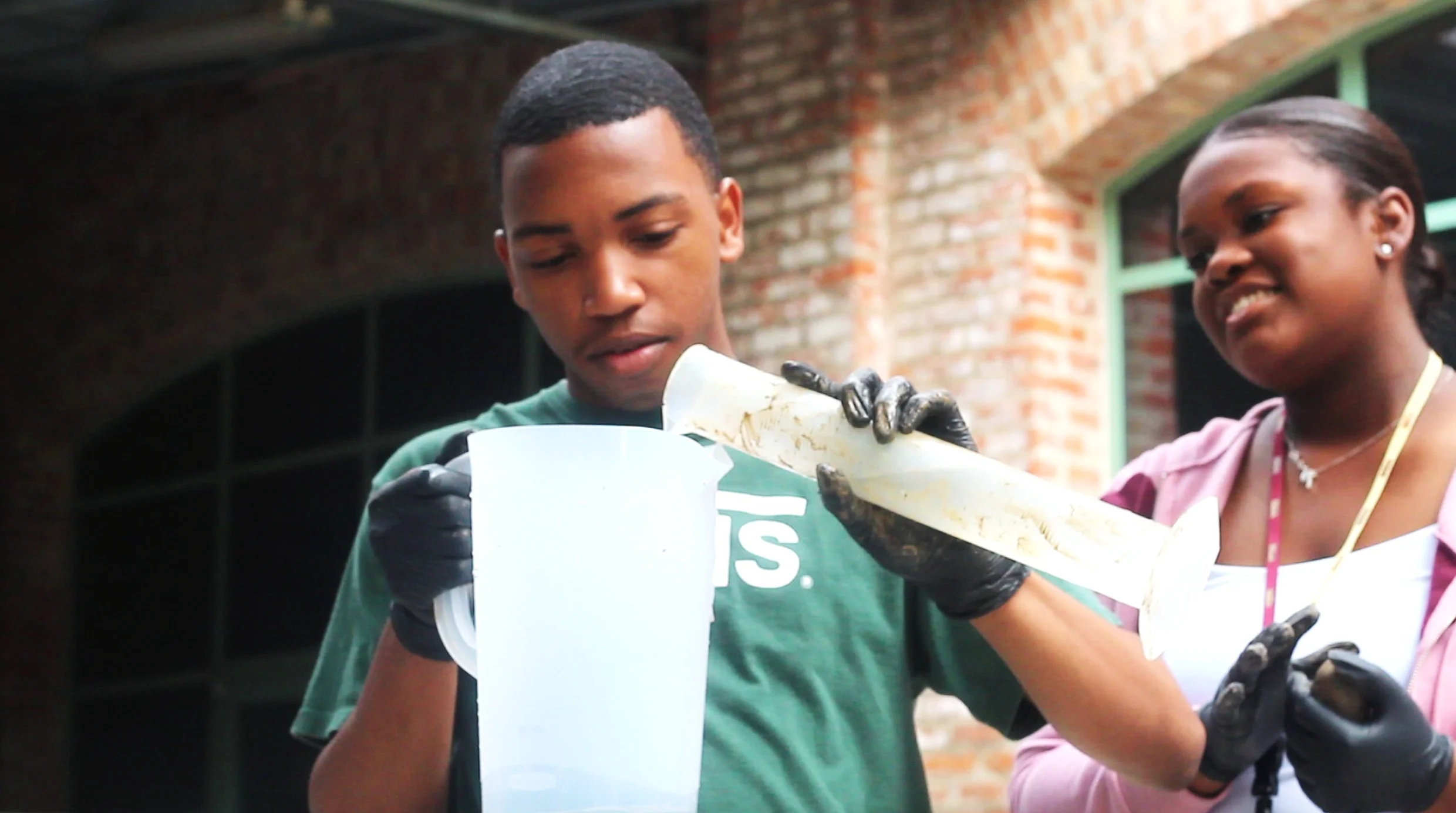
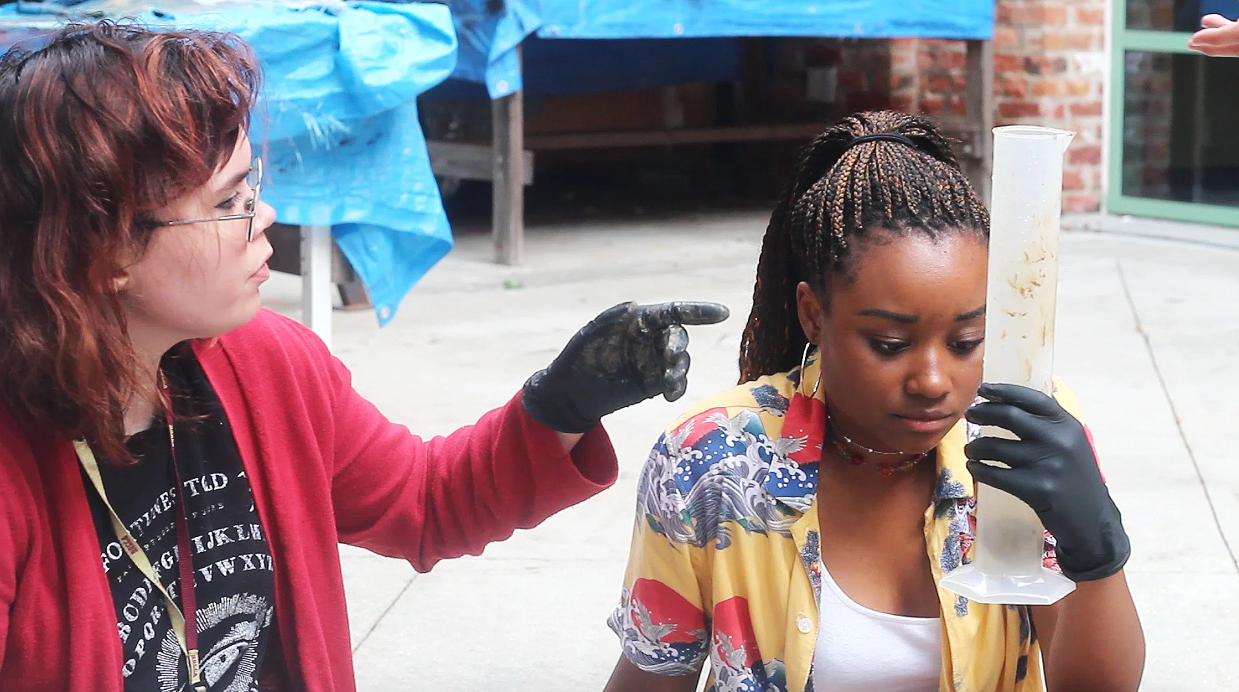

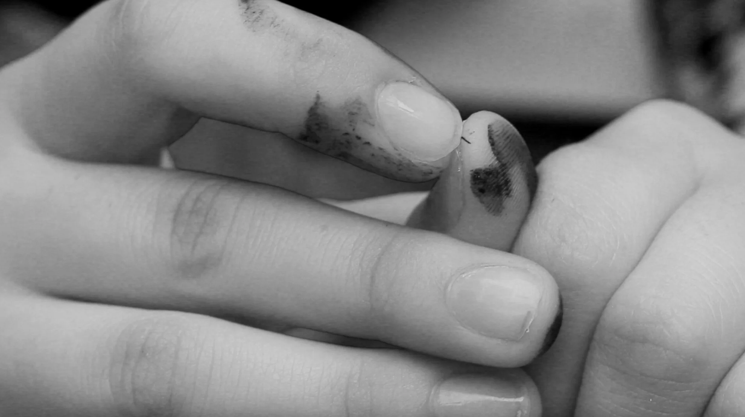
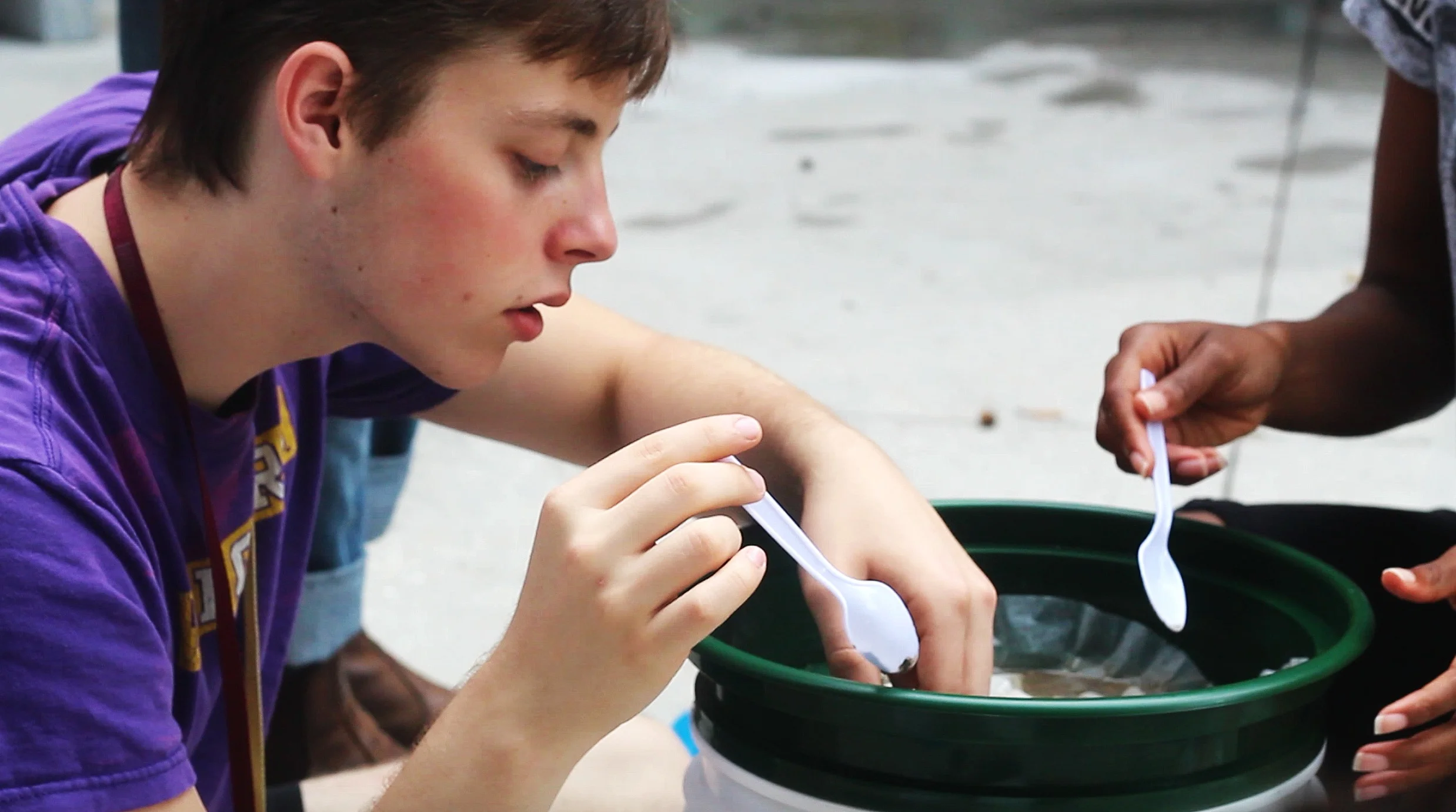
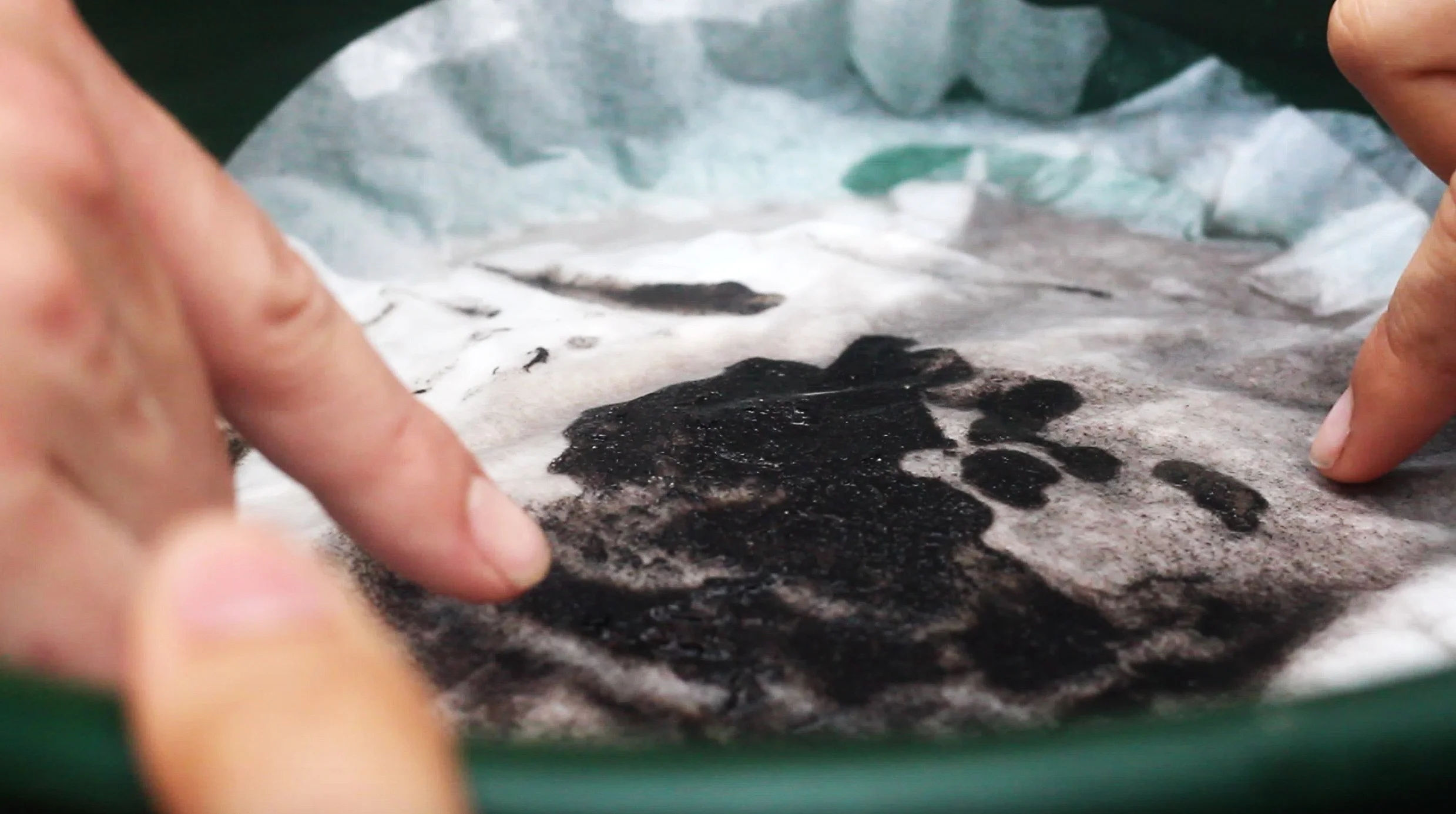
Flotation Samples
Flotation samples were used to uncover organic matter residing in various soil samples from the Adams Bay site. These samples were filtered by students of the New Orleans Center for Creative Arts in the Integrated Sciences III class taught by Dr. Ted Marks.